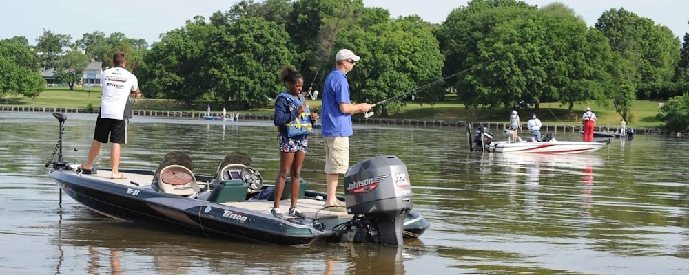
Perched on the northern end of the Saanich Peninsula on Vancouver Island is the charming oceanside community of Sidney. Known as ‘Sidney by the Sea’, this beloved small town beckons visitors from all over the world, along with locals, to retire or raise a family.
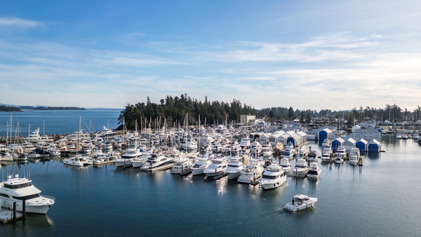
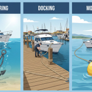
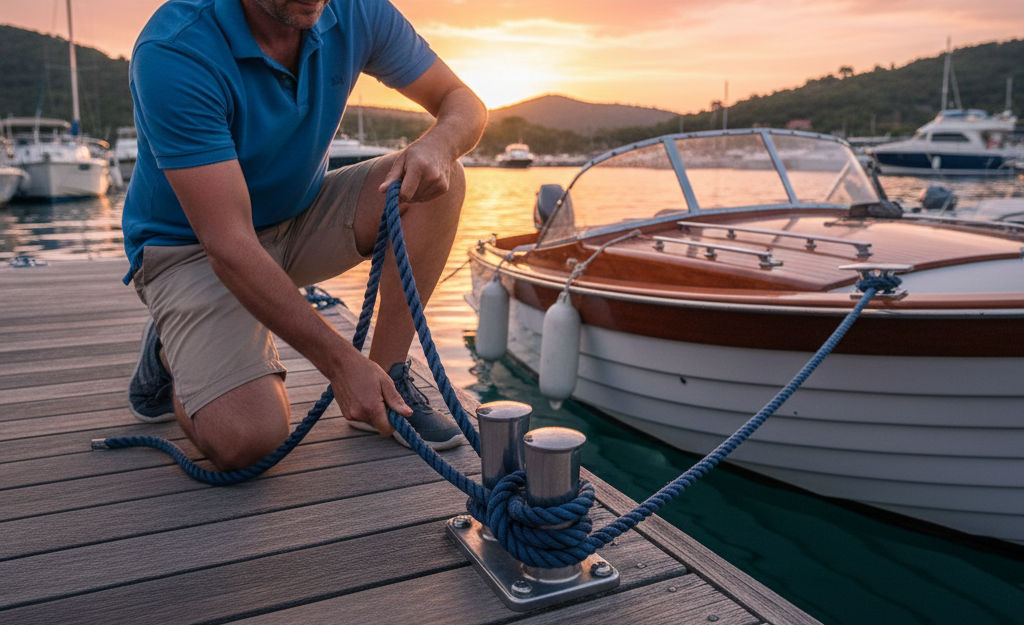
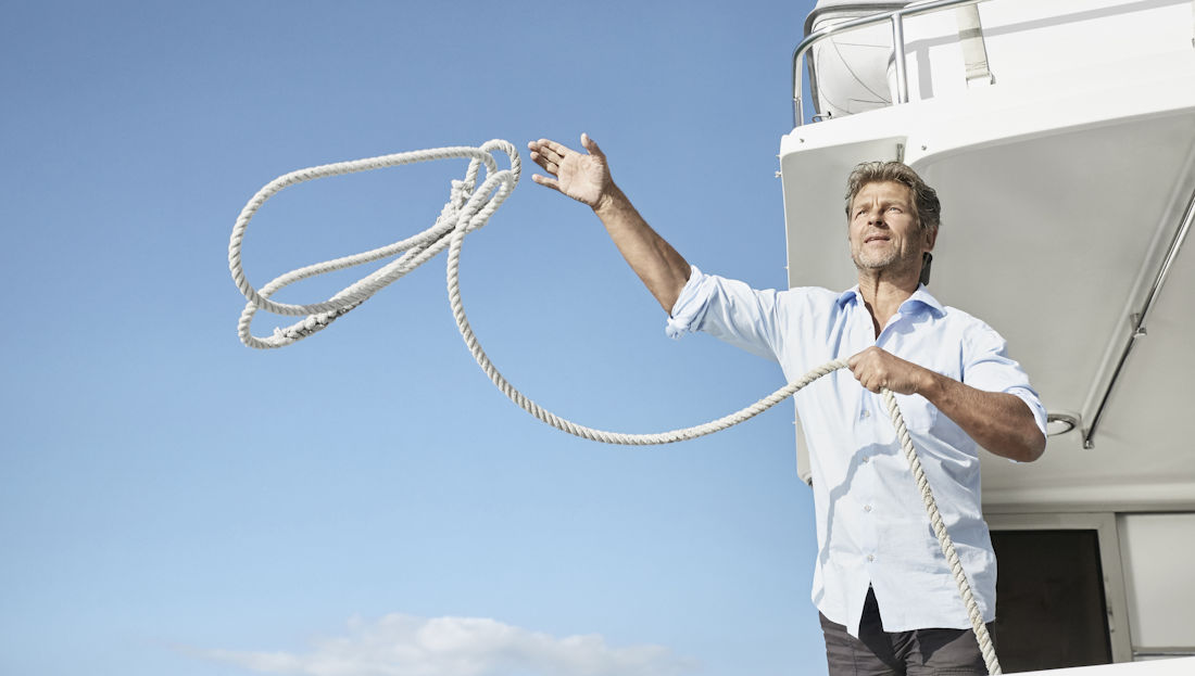
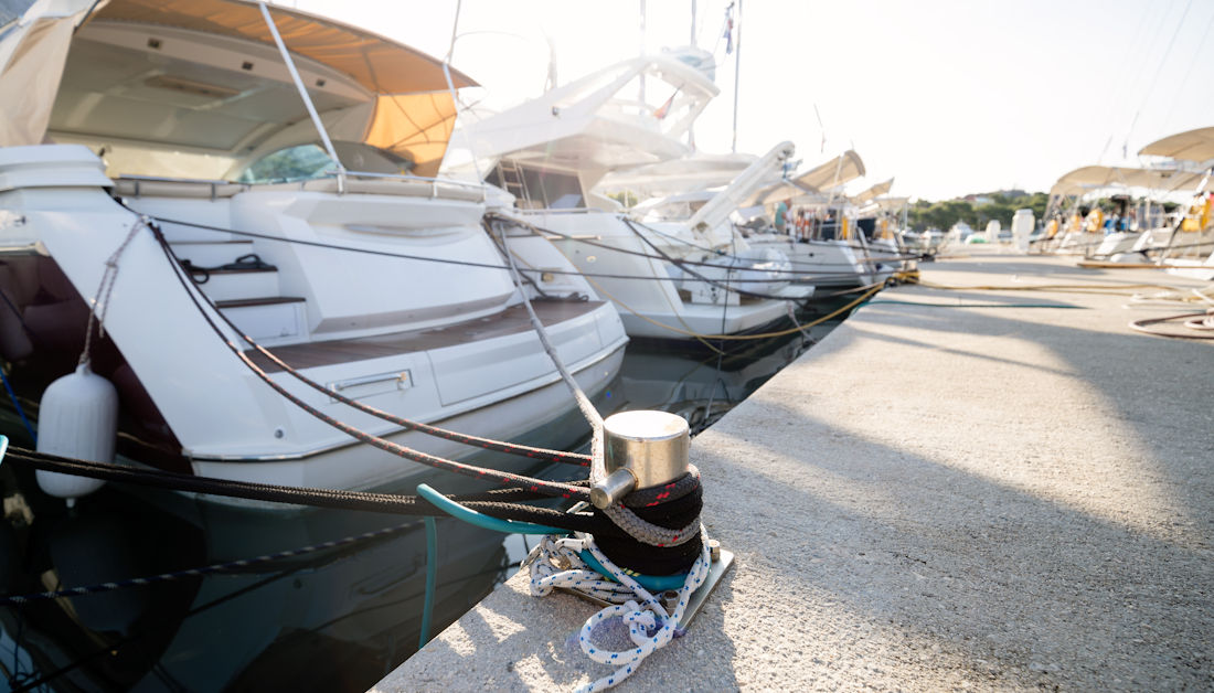
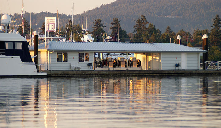
Sidney is conveniently situated as the gateway to Vancouver Island, with the BC Ferries Swartz Bay terminal and Victoria International Airport just a couple of minutes away. If you’re arriving by boat, there’s also a marina just down the road.
With a population of just over 12,000 residents, Sidney is buzzing with activity during the Spring and Summer months, as tourists arrive and boating enthusiasts dock at the nearby marina. Despite its small size, the town is packed with beautiful sights and fun activities, along with some incredible food and oceanside dining. This article highlights 10 things to do in with your time in Sidney by the Sea:
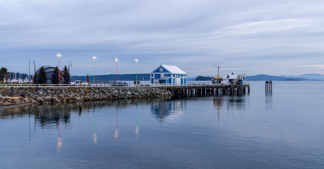
Walk the Sidney Pier
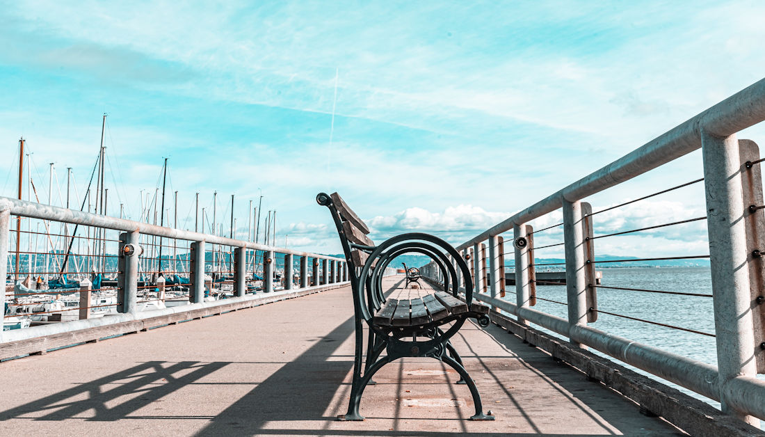
The oceanside pier is one of the main attractions in downtown Sidney, wrapping around the eastern edge of the town. Taking a stroll along the boardwalk, you’ll enjoy all the sights, sounds and smells of Sidney. The iconic fisherman’s pier is sure to be packed with people, fishing lines and crab traps, right next to the fish market where you can browse the fresh catches of the day. You’ll also come across multiple restaurants, bars, and access points to small beaches beneath.
Sip Craft Beer at a Microbrewery
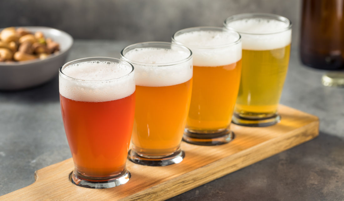
If you’re into craft beer, Sidney has become a mini hotspot for microbreweries in recent years, with two must-visit spots right beside each other off Beacon Avenue.
Small Gods Brewing Co is the best spot for a wide range of beers, with pale ales, sours, porters and blanches. They’ve also got local ciders, wine and cocktails on tap, plus a menu of salads, deli sandwiches and small snacks.
Right next door, you’ll find Beacon Brewing, with some great craft beer plus a ton of events, including live music, trivia, music bingo, comedy, and more.
Dine at the West Coast Grill
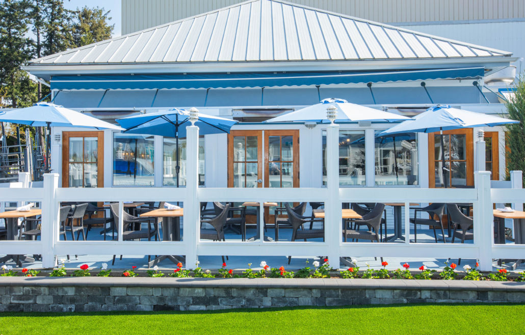
For an authentic West Coast dining experience with stunning oceanfront views, visit the West Coast Grill located in Van Isle Marina. This brand new to Sidney restaurant places a focus on locally sourced ingredients, with an award-winning wine list and a local selection of beers.
The menu boasts share plates like calamari, duck wings, oysters and tuna tacos, plus homey but elevated main dishes from the land or from the sea. Their daily happy hour from 2:30-5 pm features glasses of wine, local beer and cocktails all for just $6, plus shareable appies for $15 or less!
Kayak to Sidney Spit
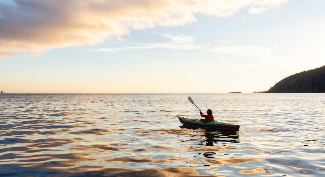
Sidney Spit is a sandy, narrow strip of beach that stretches out into the sea. It’s a very beautiful and remote place to sunbathe and stroll the thousands of metres of beach.
Sidney Spit is part of the Gulf Islands National Park, home to tidal flats, salt marshes, and shorebirds. The spit is also located on Sidney Island, roughly 5km from downtown Sidney, making it the perfect destination for a kayak trip. You can rent a kayak nearby and reach the island in about 2 hours if you take your time.
Browse the Shops & Galleries
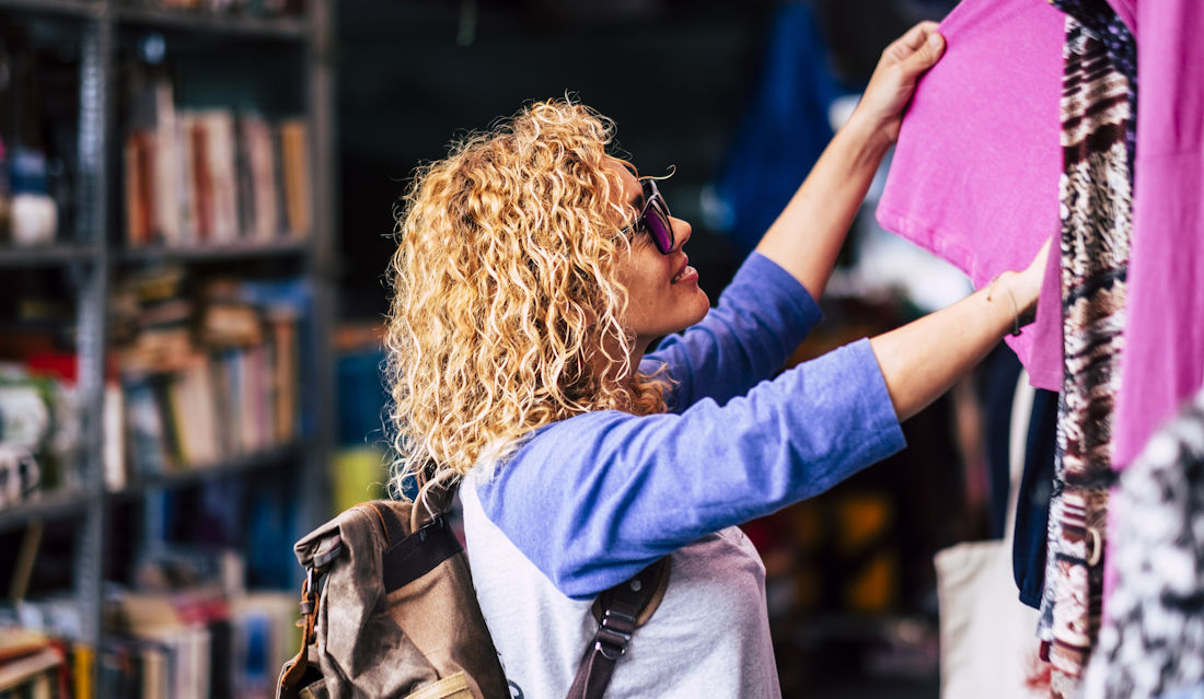
Sidney is somewhat of a mini-mecca for shopping if you’re into handmade goods, local art and boutique shops. Strolling down Beacon Avenue towards the pier, you’ll find dozens of cute spots for antiques, art and unique finds.
Sidney is known as “Canada’s Booktown” due to its high concentration of bookstores and strong literary culture that values small, independent shops. The perfect place to stock up on books for the boat!
There are also several art galleries within a stone’s throw of each other. Clustered near the pier around Beacon Avenue, there are several galleries featuring paintings, photography, jewelry, and sculptures.
Check Out the Sidney Street Market
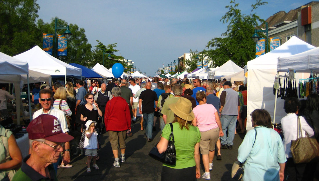
If you’re in Sidney for market season, you can’t miss the Sidney Street Market, which takes place every Thursday from 5:30-8:30 pm. The busy Beacon Avenue shuts down on Thursday nights from early June to early September every year, opening itself to unique vendors, live entertainment, and thousands of visitors.
For the 2025 season, the market is open until September 11th. This year, there are over 100 artists, makers, and fresh food creators being featured. There are also food trucks, activities, live local entertainment, and even special theme nights.
Hike John Dean Park
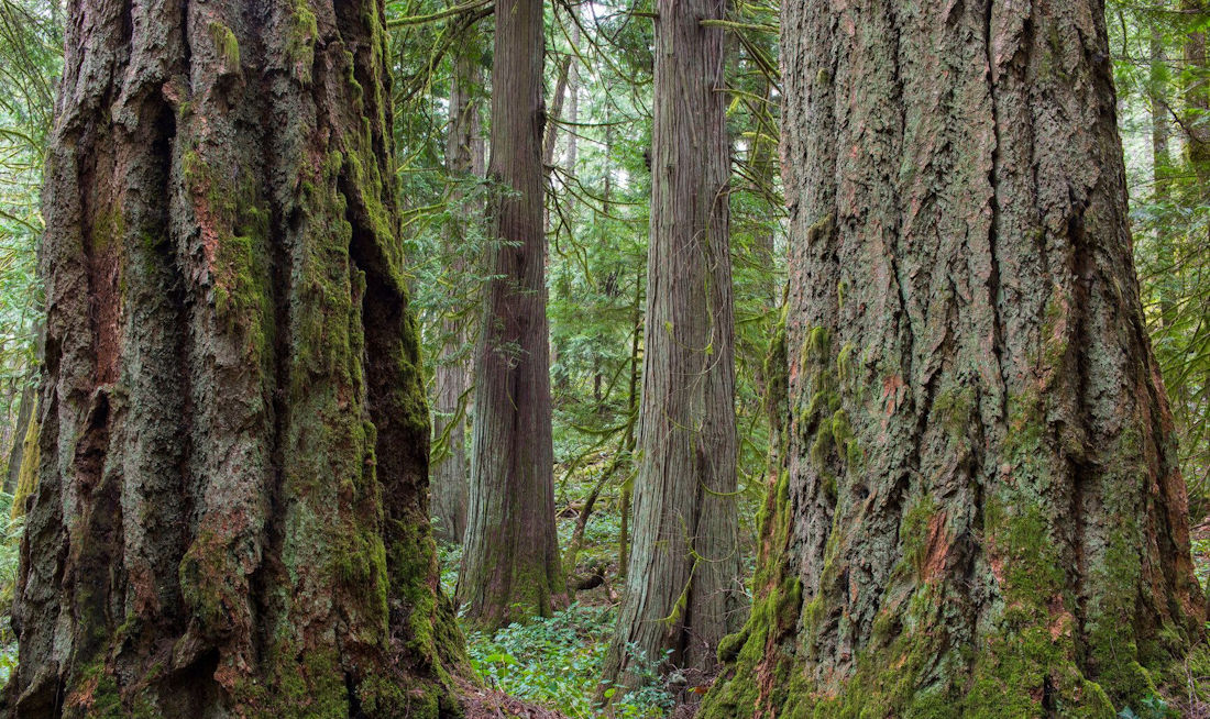
John Dean Provincial Park is situated at the top of Mount Newton in north Saanich, and can be accessed via car in only 10 minutes from downtown Sidney. The park is home to one of the last old-growth forests of Douglas fir and garry oak in the peninsula.
The park contains a number of different hikes of varying difficulty that take you through the forest. If you’re feeling ambitious, you can even summit Mount Newton. Along with the stunning views of the peninsula, Gulf Islands and Cascade Mountains, you’ll find gorgeous wildflowers, ancient trees, and soaring eagles and hawks.
Visit Some Museums
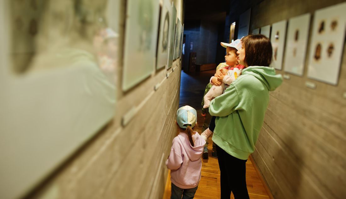
If you’re interested in history or would like to engage with the natural world, Sidney is home to a diverse collection of museums.
BC Aviation Museum
At the BC Aviation Museum, you’ll learn about the history of aviation in Canada and BC, while viewing restored aircraft, engines, photos and videos. Kids will love all the interactive activities, plus there are 40 full-sized aircraft on display! The museum makes it home on the grounds of the Victoria International Airport, located on 1910 Norseman Road.
Sidney Museum
At the Sidney Museum in downtown Sidney, you can enjoy over 8,000 artifacts with prominent displays for First Nations, agriculture, transportation and social history. Along with the permanent artifacts, the museum is home to displays that rotate monthly. More recently, the museum featured exhibits on calligraphy, Canadian banknotes, and LEGO. The museum was established in 1971 and is located at 2423 Beacon Avenue.
Shaw Centre for the Salish Sea
The Shaw Centre for the Salish Sea is less of a museum but rather of an engaging place to learn about local wildlife. It’s the only aquarium and cultural centre dedicated exclusive to the Salish Sea, with 28 aquariums, 160 live marine special and over 3,500 animals. The kids will love it! Located at 9811 Seaport Place.
See the World-Famous Butchart Gardens
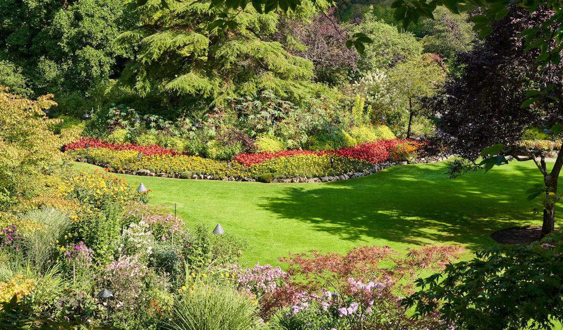
If you’re up for a bit of an outing, the Butchart Gardens are something you need to experience at least once. A world-famous destination that sees millions of tourists every year, Butchart Gardens can be reached from Sidney in around 20 minutes.
The 55-acre display of perfectly manicured gardens has been around for over 120 years. It all started in 1904 when Jennie Butchart and her husband arrived from Ontario. Over the next 25 years, Jennie’s vision was brought to life.
Butchart Gardens can be visited all year round. The holiday season is always special, with lights decorating the entirety of the gardens. But the best time to enjoy the gardens in bloom would be Spring and Summer.
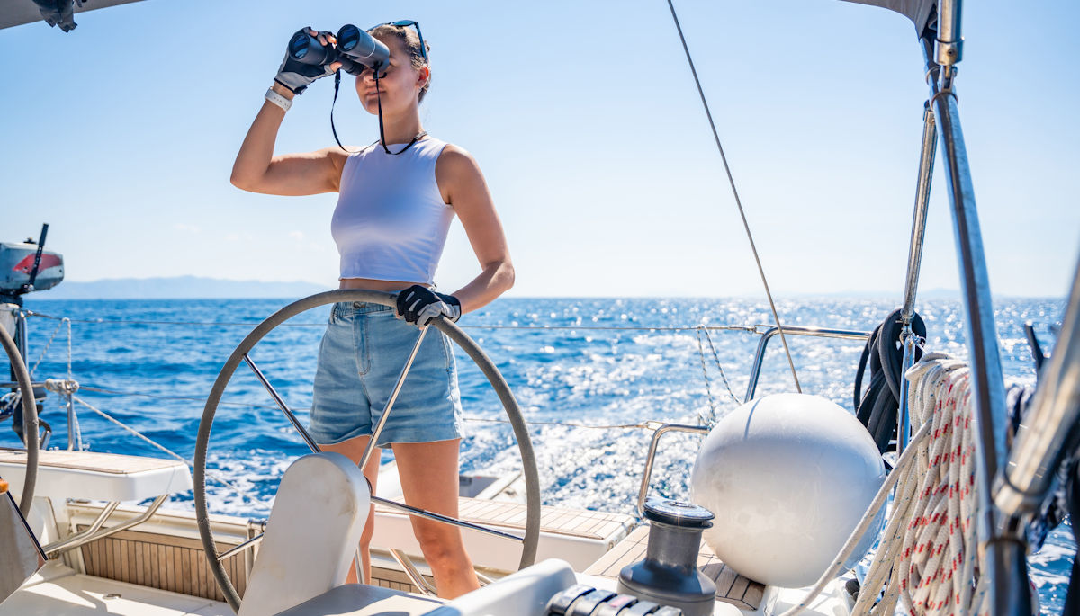
Go Whale Watching
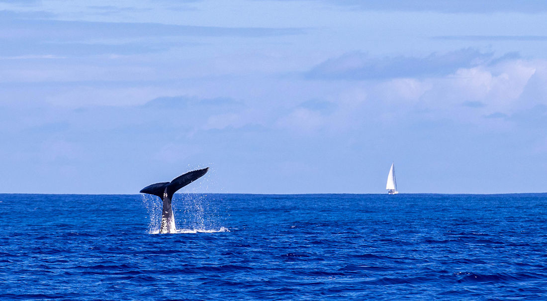
If you’re just visiting Canada’s west coast, your trip isn’t complete without seeing one of the giant, majestic creatures that roam our waterways. The calm waters just off Sidney are home to both resident and transient orcas, humpback whales, gray whales, and minke whales.
The southern resident orcas are the star of the show, due to their predictable movements and desire for salmon. Whale sightings are fairly common by boat. So if you want a chance at seeing these beautiful creatures in the wild, your best shot is to go whale watching.
Sidney Whale Watching has been First Nation owned and operated for over 20 years, and is the best choice for whale watching in the area, offering whale watching trips, private charters and culinary tours.
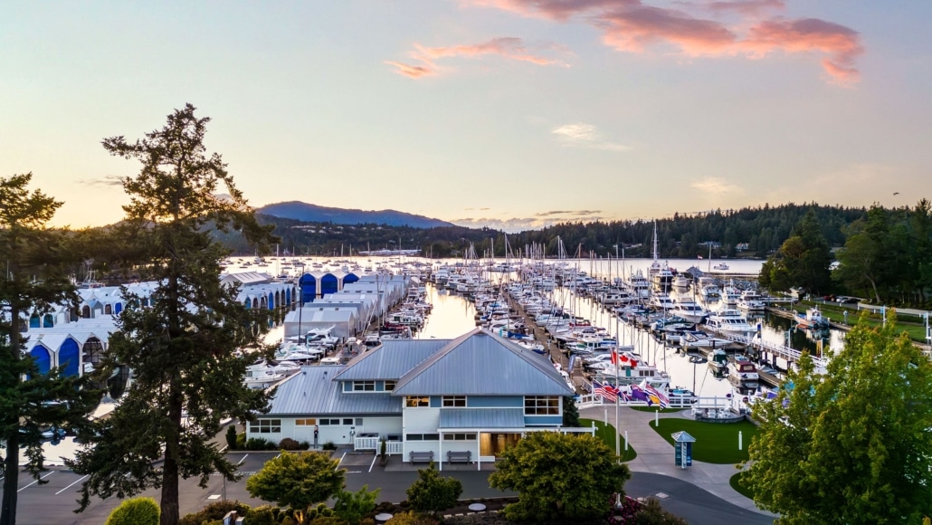
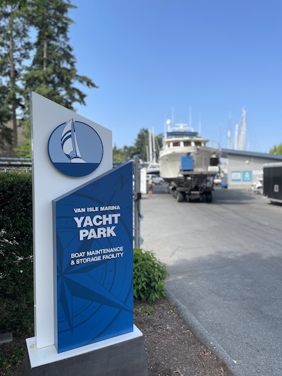
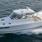
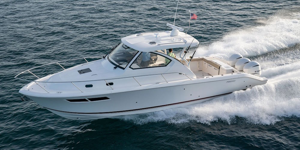
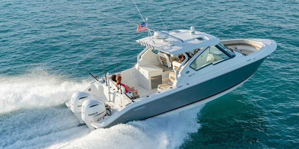
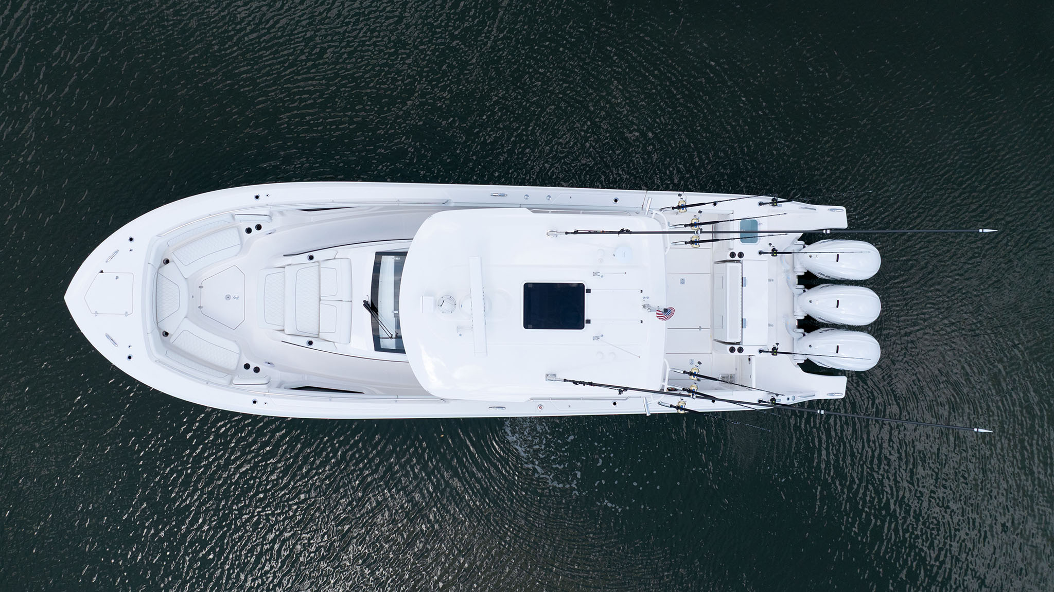
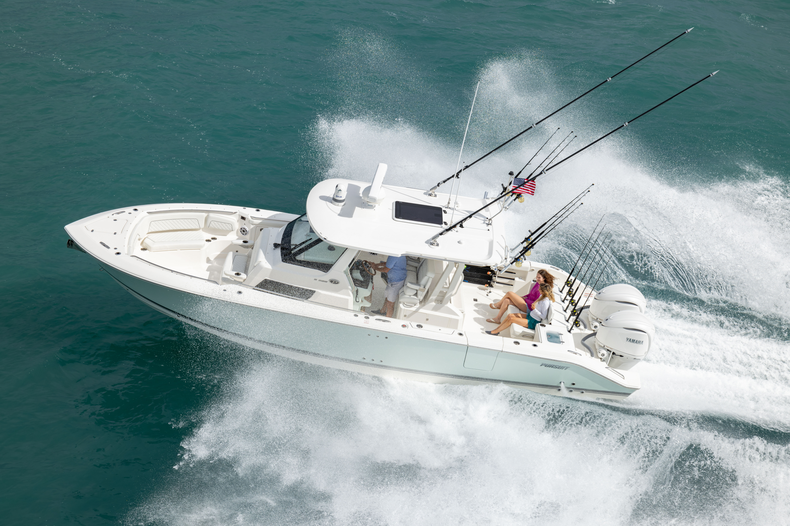
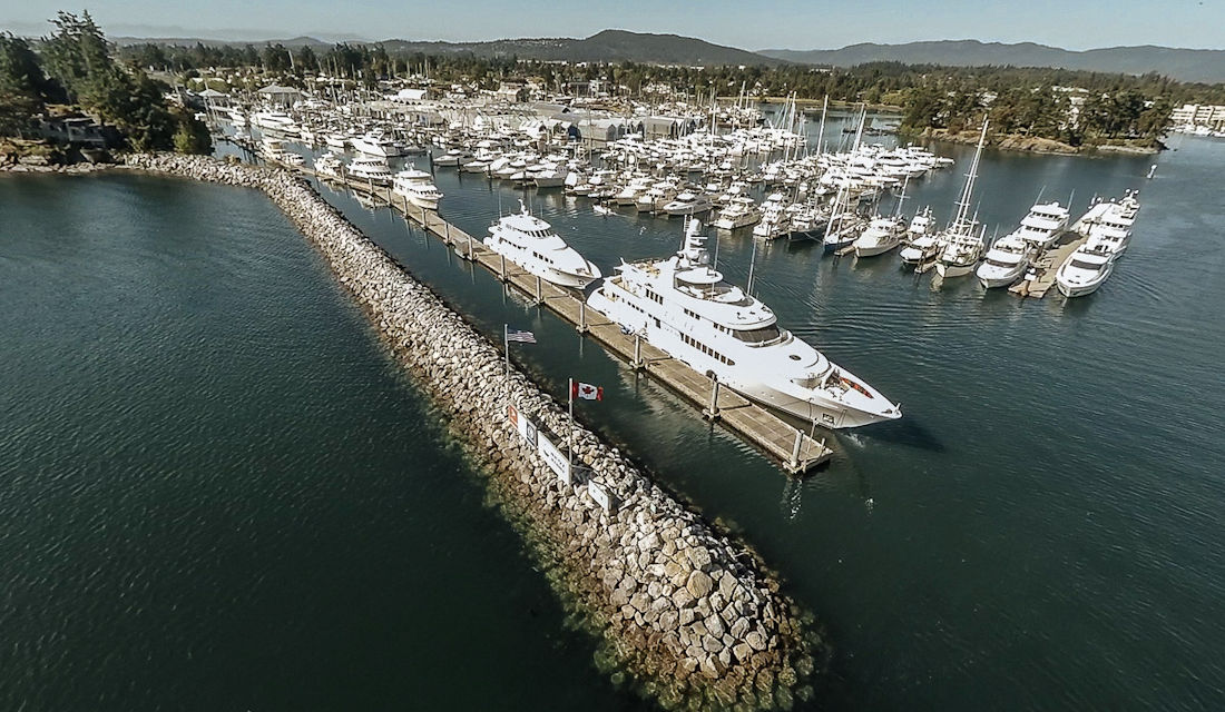
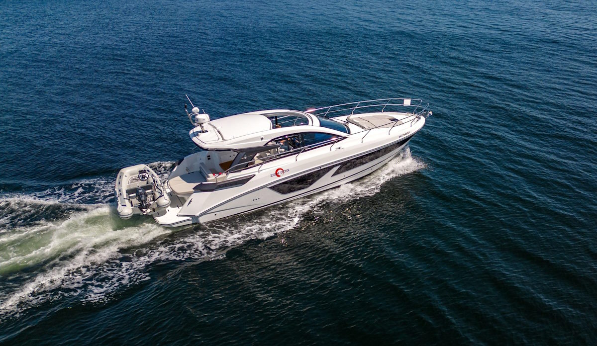
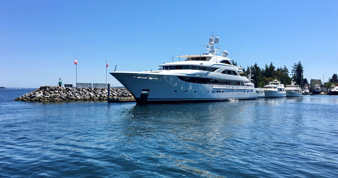
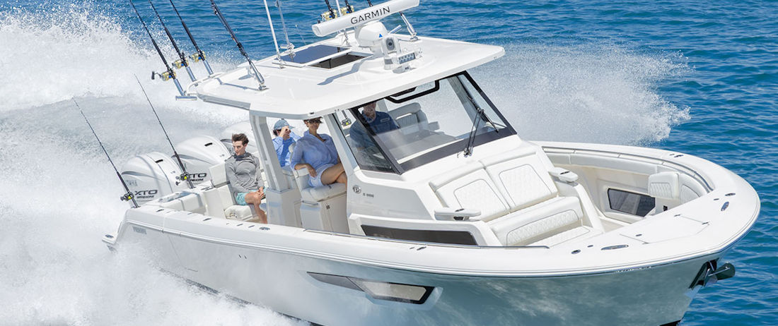
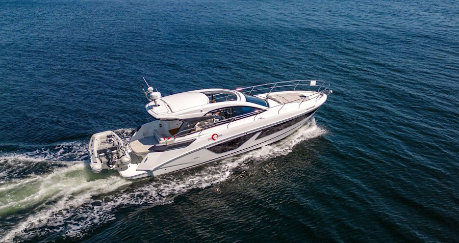
Next time you’re in Sidney, be sure to stop by Van Isle Marina and check out the selection of new and pre-owned yachts in our marina. Van Isle Marina is an exclusive dealer of Pursuit Boats, plus we have some beautiful used boats ranging from 21 to 65 feet. Visit us in person before dinner or contact our yacht broker to inquire.
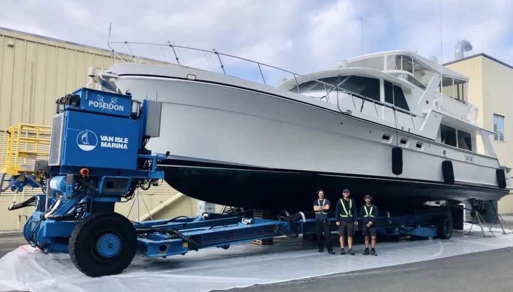

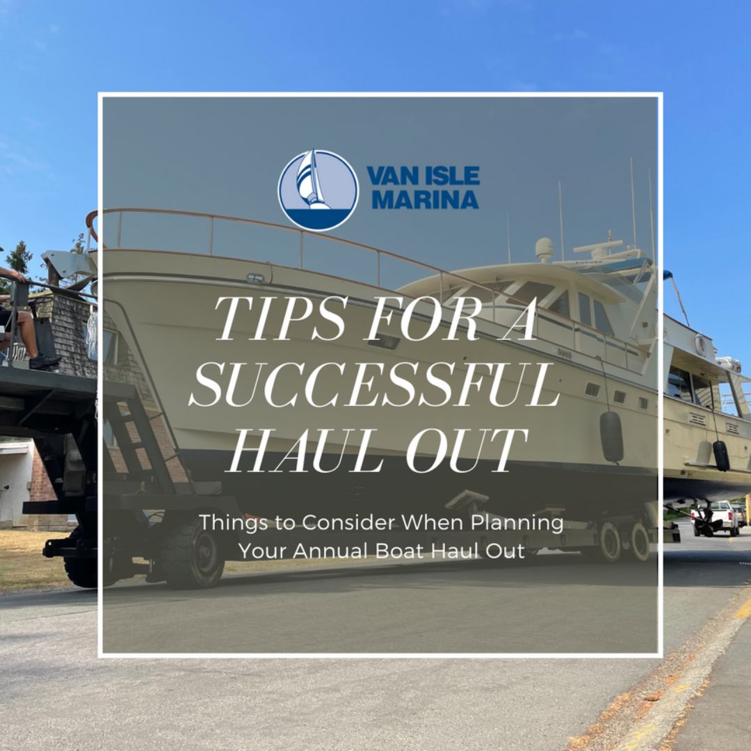

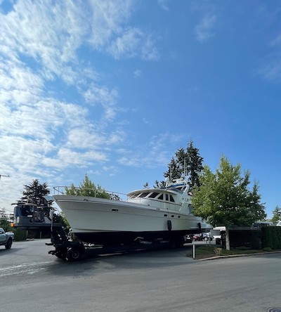
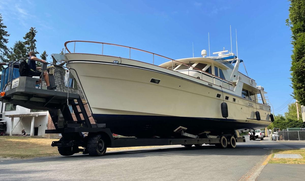
 Time for a Haul Out